
gvSIG 1.10
-
"Analyzes information from certain geographic areas"
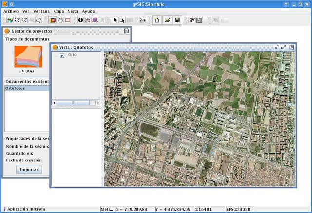
If what we need is a good geographic program with a free GPL license, the program developed by the Generalitat Valenciana, gvSIG, is our best option.
With this useful and versatile tool we will be able to analyse and manage all kinds of useful information about a specific area and we will even be able to identify and catalogue localities or delimited perimeters with extreme ease.
The program includes more professional features, where you can integrate both local and remote data with WMS, WFS or JDBC, in addition to supporting raster or vector formats.
The new version brings us improvements in terms of integration with different extensions such as Sextante 0.6 and Navtable, as well as compatibility with Windows Vista and 7 and a visual improvement in the graphics of cakes and bars.
show more
- Download gvSIG 1.10 Download